Map
Galle Hotel Areas Map
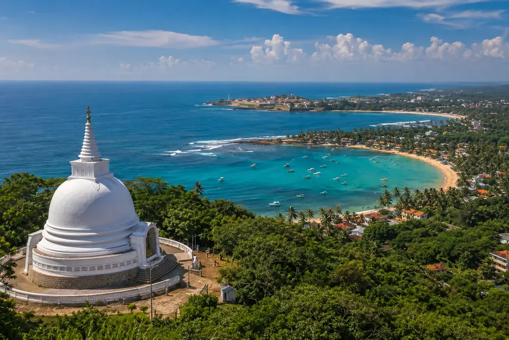
How the coast fits together, northwest to southeast: Hikkaduwa, Galle Town by the harbor, the Fort on its promontory, Unawatuna's bay, then Thalpe, Dalawella and Ahangama in the sheltered bay south of the harbor.
Distances and travel times
| Place | Distance | Travel time |
|---|---|---|
| Unawatunafrom Galle Fort | about 6 km | 15 to 20 min |
| Jungle Beach & Rumassalafrom Galle Fort | about 5 km | 15 min |
| Thalpe & Dalawellafrom Galle Fort | about 10 km | 20 to 25 min |
| Ahangamafrom Galle Fort | about 20 km | 30 to 40 min |
| Hikkaduwafrom Galle Fort | about 19 km | 30 to 40 min |
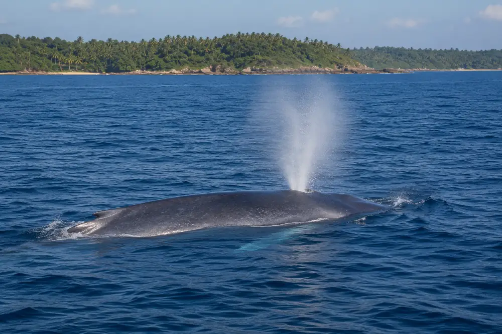
| Mirissa (whale watching)from Galle | about 35 km | 45 to 60 min |
| Colombofrom Galle | about 125 km | 1.5 to 2 hours via expressway |
| Colombo Airport (BIA)from Galle | about 150 km | about 2 hours via expressway |
Illustrative map, not to scale. Distances are honest approximations, checked July 2026.